-6.2 cfs (-1.5%) since yesterday
143.89% of Normal
•
2 Streamgauges
Total streamflow across the
Lake Fork River
was last observed at
408
cfs, and is expected to yield approximately
810
acre-ft of water today; about 144%
of normal.
River levels are high.
Average streamflow for this time of year is
284 cfs,
with recent peaks last observed
on
2011-06-30 when daily discharge volume was observed at
2,750 cfs.
Maximum discharge along the river is currently at the
Lake Fork River Bl Moon Lake Nr Mountain Home
reporting a streamflow rate of 333 cfs.
However, the streamgauge with the highest stage along the river is the
Lake Fork River Ab Moon Lake
with a gauge stage of 2.31 ft.
This river is monitored from 2 different streamgauging stations along the Lake Fork River, the highest being situated at an altitude of 8,190 ft, the
Lake Fork River Ab Moon Lake.
Last Updated
2024-05-04
Streamflow
408.2 cfs
Percent of Normal
143.89%
Maximum
2,750.0 cfs
2011-06-30
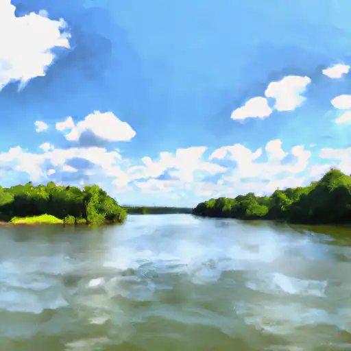
About the lake fork river
The Lake Fork River is a scenic river that flows through Colorado and Wyoming. It stretches for approximately 70 miles, and its headwaters are located in the Snowy Range Mountains. The river is known for its excellent fishing opportunities, particularly for trout. The river is also home to several reservoirs, including the Rob Roy Reservoir, which is located in Wyoming. The river's flow is regulated by several dams, including the Rob Roy Dam and the Lake Hattie Dam. The Lake Fork River is used for both recreational and agricultural purposes. It is a popular destination for fishing, camping, and boating, and it is also used for irrigation by local farmers. Despite its popularity, the Lake Fork River remains a pristine and beautiful natural resource, and it is an important part of the local landscape.