Maximum discharge along the river is currently at the
reporting a streamflow rate of cfs.
This is also the highest stage along the Lamprey River, with a gauge stage of
ft at this location.
This river is monitored from 1 different streamgauging stations along the Lamprey River, the highest being situated at an altitude of ft, the
.
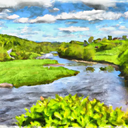
About the lamprey river
The Lamprey River flows through southeastern New Hampshire, originating in Northwood and flowing into the Great Bay Estuary. The river is approximately 50 miles long and has historically been an important resource for both recreational and agricultural purposes. However, the construction of dams and mills along the river caused significant ecological damage, leading to the decline of native fish populations. The Lamprey River is now home to several hydroelectric dams, including the Pawtuckaway Dam and the Newmarket Dam. The river is also used for recreational activities such as kayaking, fishing, and hiking along its banks. Additionally, the watershed is home to several agricultural operations, including dairy and vegetable farms. Conservation efforts have been made to restore the river's natural ecosystems, including the removal of dams and the reintroduction of native fish species.