Maximum discharge along the river is currently at the
reporting a streamflow rate of cfs.
This is also the highest stage along the Linville River, with a gauge stage of
ft at this location.
This river is monitored from 1 different streamgauging stations along the Linville River, the highest being situated at an altitude of ft, the
.
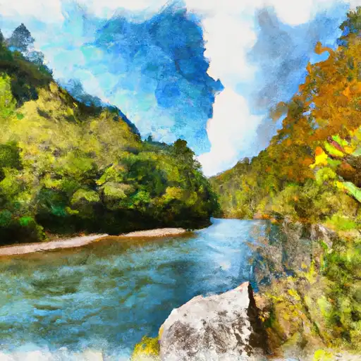
About the linville river
The Linville River is a 17.6-mile-long river that flows through western North Carolina. The river has a rich history, with Native Americans using it for fishing and transportation long before European settlers arrived. The river's hydrology is characterized by a steep gradient, with numerous waterfalls dotting the course. Two notable reservoirs on the Linville River are the Linville Falls Reservoir and the Lake James Reservoir. The Linville Falls Reservoir is a small impoundment created by the construction of a dam in 1912, while the Lake James Reservoir is a larger lake formed by the construction of a dam in 1916. Recreational activities along the river include fishing, hiking, and camping, while agricultural uses include irrigation of crops and water for livestock.