Maximum discharge along the river is currently at the
reporting a streamflow rate of cfs.
This is also the highest stage along the Little Cedar River, with a gauge stage of
ft at this location.
This river is monitored from 1 different streamgauging stations along the Little Cedar River, the highest being situated at an altitude of ft, the
.
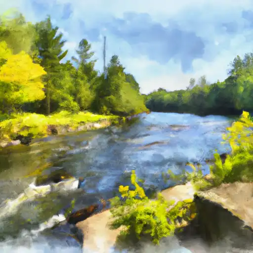
About the little cedar river
The Little Cedar River is a 61-mile-long waterway that flows through northern Iowa. The river was used by Native American tribes as a source of food and water. During the 19th century, the river was used to power mills and factories. Today, the Little Cedar River is primarily used for recreational activities such as fishing and boating. The river is home to several species of fish, including catfish, northern pike, and walleye. There are several reservoirs on the Little Cedar River, including the Mitchell Dam, which was built in 1961 to provide flood control and irrigation to the surrounding agricultural areas. The river also serves as a source of water for nearby towns and cities.