-0.8 cfs (-3.49%) since yesterday
48.55% of normal
•
Very Low
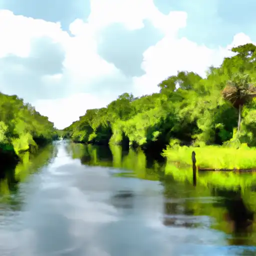
Total streamflow across the
Little Manatee River
was last observed at
22
cfs, and is expected to yield approximately
44
acre-ft of water today; about 49%
of normal.
River levels are low and may signify a drought.
Average streamflow for this time of year is
46 cfs,
with recent peaks last observed
on
2022-09-30 when daily discharge volume was observed at
6,776 cfs.
Maximum discharge along the river is currently at the
Little Manatee River Near Wimauma Fl
reporting a streamflow rate of 19.5 cfs.
This is also the highest stage along the Little Manatee River, with a gauge stage of
2.81 ft at this location.
This river is monitored from 2 different streamgauging stations along the Little Manatee River, the highest being situated at an altitude of 57 ft, the
Little Manatee River Near Ft. Lonesome Fl.
Last Updated
2024-04-24
Streamflow
22.15 cfs
Percent of Normal
48.55%
Maximum
6,776.0 cfs
2022-09-30
About the little manatee river
The Little Manatee River is a 40-mile-long river in west-central Florida that flows into Tampa Bay. The river has a rich history, dating back to the early 1800s when it was used for transport and sawmills. Today, it is an important water source for agriculture and serves as a recreational destination for fishing, boating, and camping. The river's hydrology is influenced by rainfall patterns and water withdrawals for irrigation. There are two reservoirs along the river, including the Little Manatee River Reservoir and the Balm Reservoir, which provide water for agricultural purposes. The Little Manatee River plays a critical role in maintaining the ecological balance of the region, sustaining wildlife and vegetation.