+155.4 cfs (+131.36%) since yesterday
166.84% of Normal
•
3 Streamgauges
Total streamflow across the
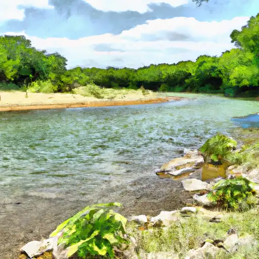
Llano River
was last observed at
274
cfs, and is expected to yield approximately
543
acre-ft of water today; about 167%
of normal.
River levels are high.
Average streamflow for this time of year is
164 cfs,
with recent peaks last observed
on
2023-10-27 when daily discharge volume was observed at
27,450 cfs.
Maximum discharge along the river is currently at the
Llano Rv At Llano
reporting a streamflow rate of 108 cfs.
However, the streamgauge with the highest stage along the river is the
Llano Rv Nr Mason
with a gauge stage of 5.44 ft.
This river is monitored from 3 different streamgauging stations along the Llano River, the highest being situated at an altitude of 1,641 ft, the
Llano Rv Nr Junction.
Last Updated
2024-05-02
Streamflow
273.7 cfs
Percent of Normal
166.84%
Maximum
27,450.0 cfs
2023-10-27
About the llano river
The Llano River is a river in central Texas that flows 105 miles from its source in the Edwards Plateau to its confluence with the Colorado River. The river has a rich history dating back to the pre-Columbian era, when it was used by Native Americans for irrigation and fishing. Today, the river is used extensively for recreational activities such as fishing, swimming, and kayaking. There are also several reservoirs and dams along the river, including Lake Buchanan, Inks Lake, and the Llano River Dam, which provide hydroelectric power and water for agricultural purposes. The river's hydrology is influenced by the region's weather patterns, which can lead to periods of drought and flooding. Despite these challenges, the Llano River remains an important resource for the communities that rely on it for both economic and environmental reasons.