Maximum discharge along the river is currently at the
reporting a streamflow rate of cfs.
This is also the highest stage along the Lower Little River, with a gauge stage of
ft at this location.
This river is monitored from 1 different streamgauging stations along the Lower Little River, the highest being situated at an altitude of ft, the
.
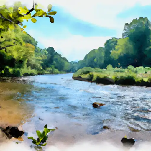
About the lower little river
The Lower Little River is a 23-mile long stream located in North Carolina, USA. It flows through the counties of Harnett and Cumberland and is a tributary of the Cape Fear River. The river has a rich history that dates back to the Native Americans who inhabited the area. Today, the Lower Little River is a popular recreational spot for kayaking, fishing, and camping. The river is also used for agricultural irrigation, and there are several reservoirs and dams along its course, including the Buies Creek Reservoir and the Raven Rock Dam. The hydrology of the Lower Little River is influenced by the Cape Fear River Basin, and the water quality is monitored regularly to ensure it remains safe for recreational and agricultural use.