Maximum discharge along the river is currently at the
reporting a streamflow rate of cfs.
This is also the highest stage along the Luckiamute River, with a gauge stage of
ft at this location.
This river is monitored from 1 different streamgauging stations along the Luckiamute River, the highest being situated at an altitude of ft, the
.
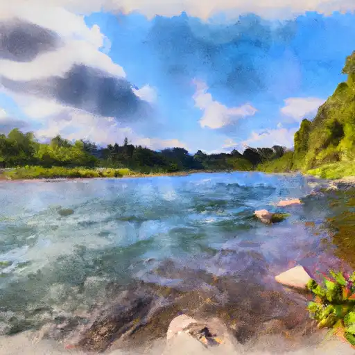
About the luckiamute river
The Luckiamute River is a tributary of the Willamette River, located in western Oregon. It flows for approximately 40 miles through the scenic Willamette Valley, passing through the cities of Falls City, Kings Valley, and Pedee. The river’s name is derived from the Kalapuya Indian word “luckiamute,” which means “swift water.”
The Luckiamute River has a rich history, with evidence of human occupation dating back over 10,000 years. The river was an important resource for the Native American tribes who lived in the area, and later became a hub for logging and agriculture.
There are several reservoirs and dams along the Luckiamute River, including the Green Peter Reservoir and the Luckiamute State Natural Area. These structures provide important hydroelectric power and water storage for the surrounding communities.
The Luckiamute River is also a popular destination for recreational activities, such as fishing, kayaking, and hiking. The river’s fertile valley is home to many farms and orchards, and agriculture continues to be an important economic activity in the region.