Maximum discharge along the river is currently at the
reporting a streamflow rate of cfs.
This is also the highest stage along the Mattawamkeag River, with a gauge stage of
ft at this location.
This river is monitored from 1 different streamgauging stations along the Mattawamkeag River, the highest being situated at an altitude of ft, the
.
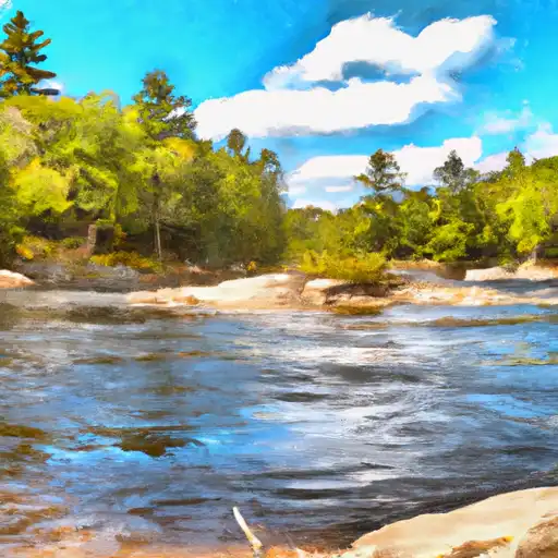
About the mattawamkeag river
The Mattawamkeag River flows 72 miles through Maine, beginning at the confluence of its east and west branches. The river is steeped in history, having been used as a transportation route for Native Americans and early settlers. The river's hydrology has been altered by several dams and reservoirs, including the Mattawamkeag Dam and the West Grand Lake Dam. These structures have helped regulate water flow and provide hydroelectric power. Recreational uses of the river include fishing, canoeing, and kayaking, while agricultural uses include irrigation and livestock watering. Despite some environmental concerns, the Mattawamkeag River continues to be an important natural resource in the region.