Maximum discharge along the river is currently at the
reporting a streamflow rate of cfs.
This is also the highest stage along the Murderkill River, with a gauge stage of
ft at this location.
This river is monitored from 1 different streamgauging stations along the Murderkill River, the highest being situated at an altitude of ft, the
.
About the murderkill river
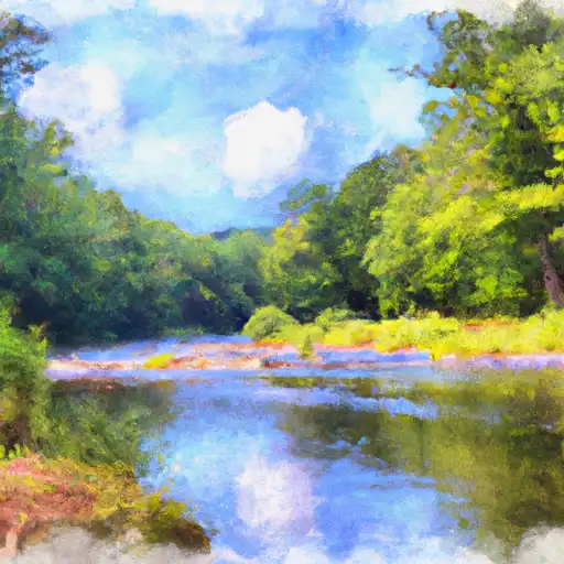
The Murderkill River is a river in Delaware, USA. It is approximately 26 miles long and runs through Kent County, Delaware. The river's name is derived from the Dutch word "moord", which means murder, and "kill", which means creek. The river is primarily fed by precipitation and is dammed by three reservoirs: McGinnis Pond, Killen Pond, and Coursey Pond. These reservoirs serve as sources of drinking water for the surrounding communities.
The Murderkill River has a rich history, dating back to the Native Americans who lived in the area. It was also an important route for early European settlers and played a role in the American Revolution. Today, the river is used for recreational activities such as fishing and boating, and some portions of the river are used for agricultural purposes.