-10.0 cfs (-5.38%) since yesterday
64.6% of normal
•
Low
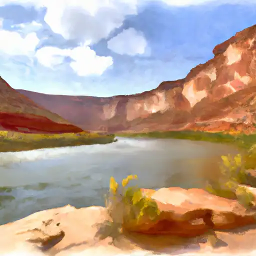
Total streamflow across the
Navajo River
was last observed at
176
cfs, and is expected to yield approximately
349
acre-ft of water today; about 65%
of normal.
River levels are low and may signify a drought.
Average streamflow for this time of year is
272 cfs,
with recent peaks last observed
on
2020-07-27 when daily discharge volume was observed at
1,923 cfs.
Maximum discharge along the river is currently at the
Navajo R At Banded Peak Ranch
reporting a streamflow rate of 176.00 cfs.
This is also the highest stage along the Navajo River, with a gauge stage of
3.49 ft at this location.
This river is monitored from 2 different streamgauging stations along the Navajo River, the highest being situated at an altitude of 7,952 ft, the
Navajo R At Banded Peak Ranch.
Last Updated
2024-05-06
Streamflow
176.0 cfs
Percent of Normal
64.6%
Maximum
1,923.0 cfs
2020-07-27
About the navajo river
The Navajo River is a tributary of the San Juan River, located in the southwestern region of the United States. The river runs approximately 100 miles through southern Colorado and northern New Mexico. Historically, the Navajo people utilized the river as a source of water for crops and livestock. Today, the river is primarily used for recreation, including fishing and camping. The river is dammed in several places, including the Navajo Dam, which was built in the 1960s for flood control and hydropower generation. The reservoir created by the dam, Navajo Lake, is a popular spot for boating and fishing. The river's hydrology is influenced by snowmelt, rainfall, and irrigation runoff, and it provides water for agricultural use in the region.