Maximum discharge along the river is currently at the
reporting a streamflow rate of cfs.
This is also the highest stage along the Nemadji River, with a gauge stage of
ft at this location.
This river is monitored from 1 different streamgauging stations along the Nemadji River, the highest being situated at an altitude of ft, the
.
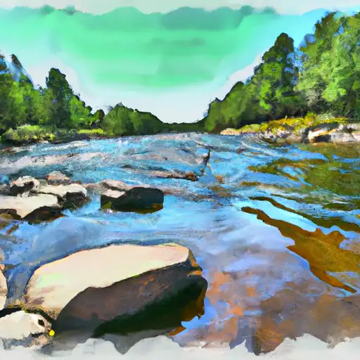
About the nemadji river
The Nemadji River is a 50-mile long river that flows through the U.S. states of Minnesota and Wisconsin. Named after the Ojibwe word for "left-hand," the river was historically used by Native Americans for fishing and transportation. Today, the Nemadji River is a popular destination for fishing, camping, and boating. The river's hydrology is largely influenced by its two major reservoirs: the Lake Minnesuing Dam and the Lake Nebagamon Dam. These dams were constructed in the mid-20th century to provide hydroelectric power and flood control. The Nemadji River also plays an important role in agriculture, providing irrigation water for crops in the surrounding areas. Despite its significance, the Nemadji River has faced challenges in recent years, including issues with water quality and invasive species.