-4969.16 cfs (-2.83%) since yesterday
329.7% of Normal
•
8 Streamgauges
Total streamflow across the
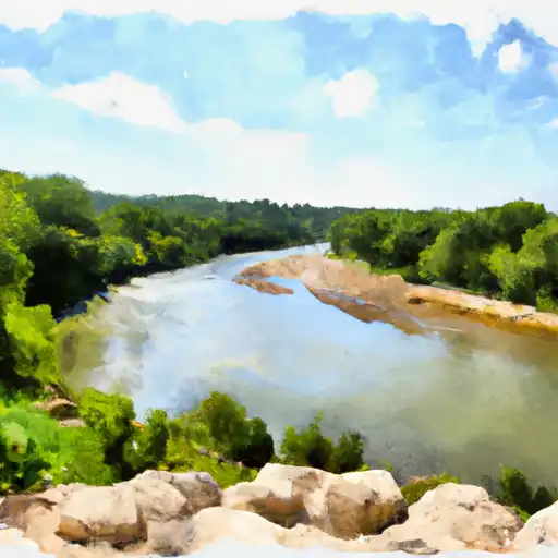
Neosho River
was last observed at
170,398
cfs, and is expected to yield approximately
337,979
acre-ft of water today; about 330%
of normal.
River levels are high.
Average streamflow for this time of year is
51,682 cfs,
with recent peaks last observed
on
2019-05-24 when daily discharge volume was observed at
422,420 cfs.
Maximum discharge along the river is currently at the
Neosho River Near Langley
reporting a streamflow rate of 48,500 cfs.
However, the streamgauge with the highest stage along the river is the
Neosho R Nr Parsons
with a gauge stage of 26.28 ft.
This river is monitored from 8 different streamgauging stations along the Neosho River, the highest being situated at an altitude of 1,223 ft, the
Neosho R At Council Grove.
Last Updated
2024-05-02
Streamflow
170,397.5 cfs
Percent of Normal
329.7%
Maximum
422,420.0 cfs
2019-05-24
About the neosho river
The Neosho River is a 463-mile-long river that flows through Kansas and Oklahoma. The river has a rich history dating back to the 1800s when it was used for transportation and trade. Today, the river is used for agriculture and recreation. The Neosho River watershed includes several reservoirs and dams, including the John Redmond Reservoir, the Council Grove Lake, and the Fall River Lake. These reservoirs provide water for irrigation and drinking purposes and also offer recreational activities such as fishing, boating, and camping. The hydrology of the river is subject to flooding, particularly in Oklahoma where the river has caused severe damage in the past. Despite this, the Neosho River and its associated reservoirs continue to be an important resource for the region.