Maximum discharge along the river is currently at the
reporting a streamflow rate of cfs.
This is also the highest stage along the Nishnabotna River, with a gauge stage of
ft at this location.
This river is monitored from 1 different streamgauging stations along the Nishnabotna River, the highest being situated at an altitude of ft, the
.
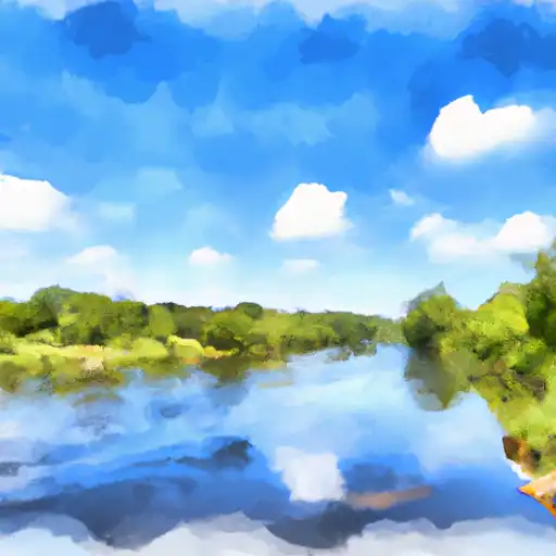
About the nishnabotna river
The Nishnabotna River flows for approximately 120 miles through western Iowa and Missouri, and has a rich history including use by Native American tribes and European settlers. The river's hydrology has been affected by human development, with frequent flooding in some areas. There are several reservoirs and dams along the river, including the Lake Icaria Dam and the West Nishnabotna Watershed Dam, which help control flooding and provide recreational activities such as fishing and boating. The river is also used for irrigation and agriculture, with many farms located near its banks. Despite challenges, efforts have been made to improve water quality and habitat for wildlife along the Nishnabotna River.