-35.3 cfs (-6.37%) since yesterday
115.52% of Normal
•
9 Streamgauges
Total streamflow across the
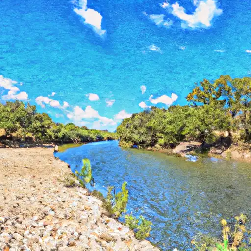
Nueces River
was last observed at
519
cfs, and is expected to yield approximately
1,030
acre-ft of water today; about 116%
of normal.
Average streamflow for this time of year is
449 cfs,
with recent peaks last observed
on
2023-05-17 when daily discharge volume was observed at
4,215 cfs.
Maximum discharge along the river is currently at the
Nueces Rv Nr Three Rivers
reporting a streamflow rate of 259 cfs.
However, the streamgauge with the highest stage along the river is the
Nueces Rv At Bluntzer
with a gauge stage of 6.59 ft.
This river is monitored from 9 different streamgauging stations along the Nueces River, the highest being situated at an altitude of 1,246 ft, the
Nueces Rv At Cr 414 At Montell.
Last Updated
2024-05-02
Streamflow
519.2 cfs
Percent of Normal
115.52%
Maximum
4,215.32 cfs
2023-05-17
About the nueces river
The Nueces River is a river in the south-central region of Texas that flows for 315 miles from its source in Edwards County to its mouth at Nueces Bay on the Gulf of Mexico. It was named by Spanish explorers after the Spanish word for "nuts" because of the numerous pecan trees along its banks. The river has been used for irrigation and agriculture since the mid-1800s, and several reservoirs and dams have been constructed along its length to regulate its flow, including Choke Canyon Reservoir and Lake Corpus Christi. The river is also a popular recreational area for activities such as fishing, canoeing, and camping. The Nueces River has been an important cultural and historical landmark for the Native American populations and the Spanish explorers.