-274.0 cfs (-3.49%) since yesterday
49.58% of normal
•
Very Low
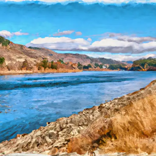
Total streamflow across the
Okanogan River
was last observed at
7,587
cfs, and is expected to yield approximately
15,049
acre-ft of water today; about 50%
of normal.
River levels are low and may signify a drought.
Average streamflow for this time of year is
15,302 cfs,
with recent peaks last observed
on
2018-05-12 when daily discharge volume was observed at
69,180 cfs.
Maximum discharge along the river is currently at the
Okanogan River At Malott
reporting a streamflow rate of 3,650 cfs.
However, the streamgauge with the highest stage along the river is the
Okanogan River Near Tonasket
with a gauge stage of 7.33 ft.
This river is monitored from 3 different streamgauging stations along the Okanogan River, the highest being situated at an altitude of 887 ft, the
Okanogan River At Oroville.
Last Updated
2024-05-03
Streamflow
7,587.0 cfs
Percent of Normal
49.58%
Maximum
69,180.0 cfs
2018-05-12
About the okanogan river
The Okanogan River is a 115-mile-long river that flows through Okanogan County in Washington state. The river has a rich history, as it was an important trade route for Native American tribes and later became a center for gold mining. Today, the river is used for irrigation and hydroelectric power generation. The river's hydrology is heavily influenced by snowmelt from the nearby Cascade Mountains. The river is home to several reservoirs and dams, including the Enloe Dam, which generates electricity for the region. The river is also a popular destination for recreational activities such as fishing, camping, and rafting. Additionally, the river is used for agricultural purposes, such as irrigation for fruit orchards and hay farms.