-486.0 cfs (-5.16%) since yesterday
251.79% of Normal
•
4 Streamgauges
Total streamflow across the
Owyhee River
was last observed at
8,924
cfs, and is expected to yield approximately
17,701
acre-ft of water today; about 252%
of normal.
River levels are high.
Average streamflow for this time of year is
3,544 cfs,
with recent peaks last observed
on
2024-04-06 when daily discharge volume was observed at
18,607 cfs.
Maximum discharge along the river is currently at the
Owyhee River Nr Rome Or
reporting a streamflow rate of 3,540 cfs.
However, the streamgauge with the highest stage along the river is the
Owyhee R Nr Mountain City
with a gauge stage of 7.2 ft.
This river is monitored from 4 different streamgauging stations along the Owyhee River, the highest being situated at an altitude of 6,129 ft, the
Owyhee R Nr Gold Creek.
Last Updated
2024-05-01
Streamflow
8,924.0 cfs
Percent of Normal
251.79%
Maximum
18,607.02 cfs
2024-04-06
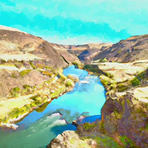
About the owyhee river
The Owyhee River is a 346-mile-long (557 km) river that flows through Idaho, Oregon, and Nevada. The river was named after the Hawaiian fur trappers who worked in the area in the early 19th century. The Owyhee River basin is one of the least developed and most remote areas in the western United States. The river is fed by snowmelt and rainfall and is known for its steep canyons and rugged terrain. There are several reservoirs and dams along the river, including the Owyhee Dam, which creates Lake Owyhee, and the Unity Dam, which creates Unity Reservoir. These reservoirs are used for irrigation, flood control, and hydroelectric power generation. The Owyhee River is also a popular destination for fishing, kayaking, and rafting. The river flows through the Owyhee Canyonlands, which is home to a variety of wildlife, including bighorn sheep, golden eagles, and pronghorn antelope.