+0.33 cfs (+2.35%) since yesterday
58.05% of normal
•
Low
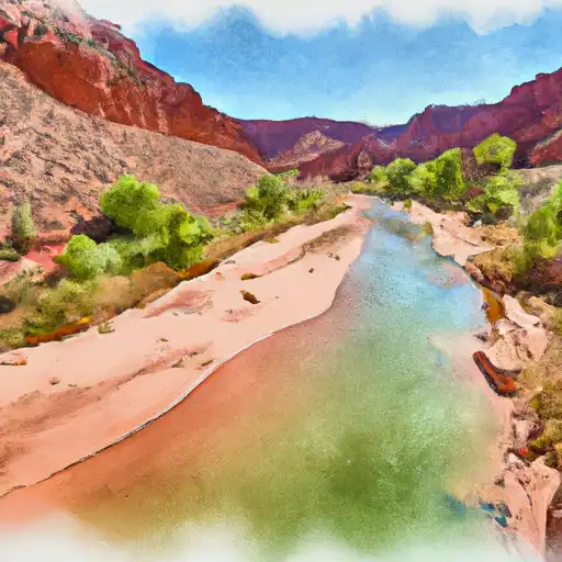
Total streamflow across the
Paria River
was last observed at
14
cfs, and is expected to yield approximately
28
acre-ft of water today; about 58%
of normal.
River levels are low and may signify a drought.
Average streamflow for this time of year is
25 cfs,
with recent peaks last observed
on
2013-09-11 when daily discharge volume was observed at
4,770 cfs.
Maximum discharge along the river is currently at the
Paria River At Lees Ferry
reporting a streamflow rate of 9.97 cfs.
However, the streamgauge with the highest stage along the river is the
Paria River Near Kanab
with a gauge stage of 7.76 ft.
This river is monitored from 2 different streamgauging stations along the Paria River, the highest being situated at an altitude of 4,359 ft, the
Paria River Near Kanab.
Last Updated
2024-05-03
Streamflow
14.35 cfs
Percent of Normal
58.05%
Maximum
4,770.0 cfs
2013-09-11
About the paria river
The Paria River is a tributary of the Colorado River located in southern Utah and northern Arizona. It stretches for approximately 80 miles and drains an area of over 1,000 square miles. Historically, the river was used by Native American tribes for hunting and gathering. Today, it is mainly used for recreational activities such as hiking and camping. The river has several dams, including the Glen Canyon Dam and the Navajo Dam, which provide hydroelectric power and water storage for nearby communities. The Paria River is also used for agricultural purposes, with water diverted to irrigate crops in the surrounding areas. Despite its importance, the river is threatened by climate change, overuse, and pollution. Efforts are being made to preserve the Paria River and its ecosystem for future generations.