-35.0 cfs (-3.63%) since yesterday
85.33% of Normal
•
2 Streamgauges
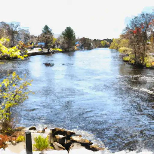
Total streamflow across the
Pawcatuck River
was last observed at
929
cfs, and is expected to yield approximately
1,843
acre-ft of water today; about 85%
of normal.
Average streamflow for this time of year is
1,089 cfs,
with recent peaks last observed
on
2024-01-14 when daily discharge volume was observed at
5,240 cfs.
Maximum discharge along the river is currently at the
Pawcatuck River At Westerly
reporting a streamflow rate of 674 cfs.
This is also the highest stage along the Pawcatuck River, with a gauge stage of
5.12 ft at this location.
This river is monitored from 2 different streamgauging stations along the Pawcatuck River, the highest being situated at an altitude of 45 ft, the
Pawcatuck River At Wood River Junction.
Last Updated
2024-05-05
Streamflow
929.0 cfs
Percent of Normal
85.33%
Maximum
5,240.0 cfs
2024-01-14
About the pawcatuck river
The Pawcatuck River is located in Rhode Island and Connecticut and is approximately 34 miles long. The river has a long history dating back to the early colonial period and has played an important role in transportation and agriculture in the region. The river is fed by several small streams and tributaries and flows into the Atlantic Ocean. The hydrology of the river is influenced by several reservoirs and dams, including the Bradford Dam and the White Rock Dam. These structures have been built to manage flooding and to provide water for irrigation and municipal purposes. The river is also popular for recreational activities such as fishing, kayaking, and hiking. Agriculture is another important use of the river, as it provides irrigation for farmers in the surrounding area.