-2.39 cfs (-61.44%) since yesterday
2 Streamgauges
Maximum discharge along the river is currently at the
Pawnee R Nr Burdett
reporting a streamflow rate of 0 cfs.
However, the streamgauge with the highest stage along the river is the
Pawnee R At Rozel
with a gauge stage of 6.21 ft.
This river is monitored from 2 different streamgauging stations along the Pawnee River, the highest being situated at an altitude of 2,129 ft, the
Pawnee R Nr Burdett.
Last Updated
2023-08-17
Streamflow
1.5 cfs
Maximum
430.0 cfs
2023-08-10
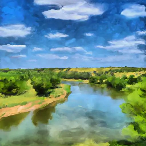
About the pawnee river
The Pawnee River is a tributary of the Arkansas River, flowing through Kansas. It stretches for approximately 180 miles, with its source in Hodgeman County and mouth at Larned. The river was historically significant to the Pawnee Native American tribe, who lived along its banks. The river is fed by various creeks and springs, but its flow is largely dependent on precipitation. Several reservoirs and dams have been constructed on the river to control its flow and provide irrigation water for agriculture. These include the Rattlesnake Creek Reservoir and HorseThief Reservoir. The river also supports recreational activities, such as fishing and boating, and provides habitat for various wildlife species.