+0.7 cfs (+0.45%) since yesterday
46.89% of normal
•
Very Low
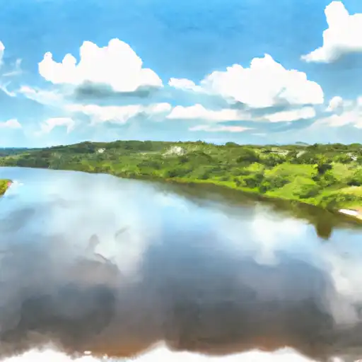
Total streamflow across the
Peace River
was last observed at
158
cfs, and is expected to yield approximately
313
acre-ft of water today; about 47%
of normal.
River levels are low and may signify a drought.
Average streamflow for this time of year is
337 cfs,
with recent peaks last observed
on
2022-09-29 when daily discharge volume was observed at
72,940 cfs.
Maximum discharge along the river is currently at the
Peace River At Nocatee Fl
reporting a streamflow rate of 305 cfs.
However, the streamgauge with the highest stage along the river is the
Peace River Near Homeland Fl
with a gauge stage of 82.01 ft.
This river is monitored from 9 different streamgauging stations along the Peace River, the highest being situated at an altitude of 94 ft, the
Peace River At Bartow Fl.
Last Updated
2024-04-28
Streamflow
158.0 cfs
Percent of Normal
46.89%
Maximum
72,940.0 cfs
2022-09-29
About the peace river
The Peace River is a 1,923 km long river that flows through British Columbia and Alberta in Canada. The river has a rich history, as it was used by Indigenous peoples for trade and transportation centuries before European settlement in the region. Today, the Peace River is used for hydroelectric power generation and irrigation purposes, with several reservoirs and dams along its length, including the W.A.C. Bennett Dam, the largest hydroelectric dam in British Columbia. The Peace River is also a popular destination for recreational activities such as fishing, boating, and camping. The river provides irrigation water for agricultural use, which is important for the productive farmland located in the Peace River Valley.