-268.0 cfs (-6.92%) since yesterday
54.01% of normal
•
Low
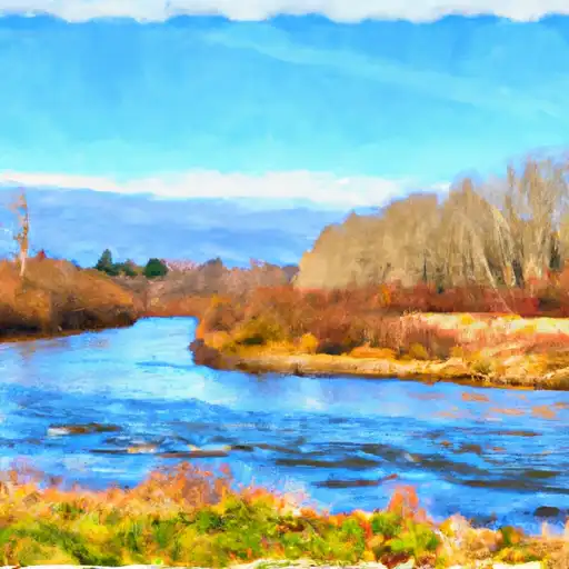
Total streamflow across the
Puyallup River
was last observed at
3,605
cfs, and is expected to yield approximately
7,150
acre-ft of water today; about 54%
of normal.
River levels are low and may signify a drought.
Average streamflow for this time of year is
6,675 cfs,
with recent peaks last observed
on
2020-02-06 when daily discharge volume was observed at
78,350 cfs.
Maximum discharge along the river is currently at the
Puyallup River At Puyallup
reporting a streamflow rate of 1,970 cfs.
However, the streamgauge with the highest stage along the river is the
Puyallup River At Alderton
with a gauge stage of 46.4 ft.
This river is monitored from 4 different streamgauging stations along the Puyallup River, the highest being situated at an altitude of 1,641 ft, the
Puyallup River Near Electron.
Last Updated
2024-05-03
Streamflow
3,605.0 cfs
Percent of Normal
54.01%
Maximum
78,350.0 cfs
2020-02-06
About the puyallup river
The Puyallup River is a 45-mile long river located in Pierce County, Washington. The river is known for its rich history as it was once home to the Puyallup Tribe who relied on the river for fishing and trade. Today, the river is used for recreational activities such as fishing, boating, and hiking. The river's hydrology is heavily influenced by Mount Rainier and its surrounding glaciers, causing the river to have high flows during the spring and low flows during the summer. Spanaway Lake and Lake Tapps are two reservoirs along the river that are used for hydroelectric power generation, irrigation, and flood control. The river is also important for agriculture as it provides irrigation to several farms in the area. However, the river faces challenges with water pollution and habitat degradation, leading to efforts to improve water quality and restore salmon populations.