Maximum discharge along the river is currently at the
reporting a streamflow rate of cfs.
This is also the highest stage along the Reddies River, with a gauge stage of
ft at this location.
This river is monitored from 1 different streamgauging stations along the Reddies River, the highest being situated at an altitude of ft, the
.
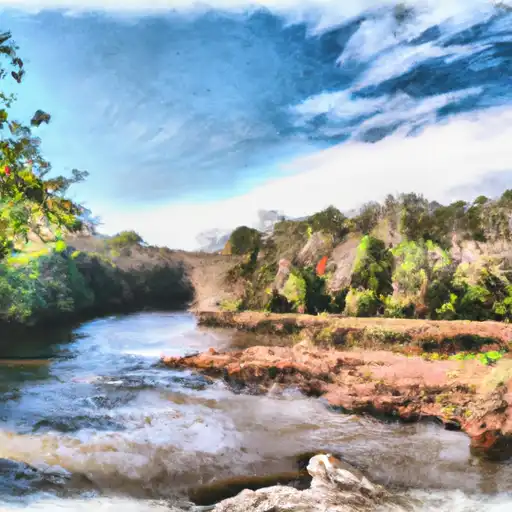
About the reddies river
The Reddies River is a 51-mile-long river in North Carolina, United States. The river flows through Wilkes County and joins the Yadkin River near East Bend. The river has played an important role in the local agriculture and economy, as it provides water for irrigation and is a popular destination for fishing and boating. Two dams and reservoirs, Reddies River Reservoir and W. Kerr Scott Reservoir, have been built on the river to regulate its flow and provide hydroelectric power. The Reddies River has a history of flooding, with several devastating floods occurring in the early 20th century. In response, the U.S. Army Corps of Engineers built a flood control dam on the river in 1940. Today, the river is a popular spot for recreational activities such as fishing, kayaking, and tubing.