Maximum discharge along the river is currently at the
reporting a streamflow rate of cfs.
This is also the highest stage along the Rivanna River, with a gauge stage of
ft at this location.
This river is monitored from 1 different streamgauging stations along the Rivanna River, the highest being situated at an altitude of ft, the
.
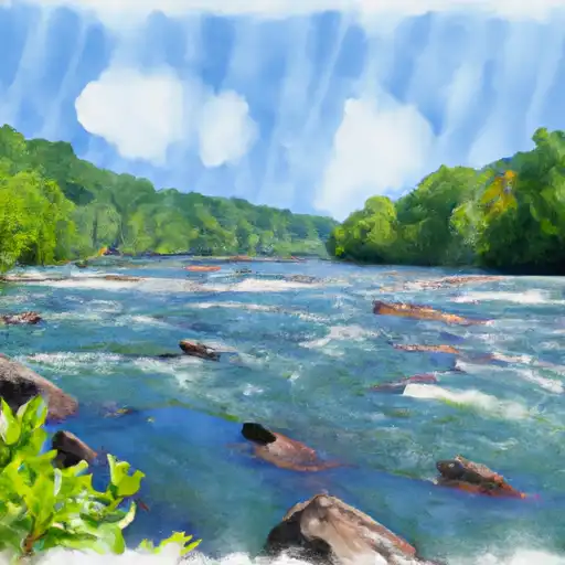
About the rivanna river
The Rivanna River is a 42-mile long waterway located in central Virginia. It is believed to have been named by the Monacan tribe, who once inhabited the area. The river has played a significant role in the history of the region, with colonial settlers using it for transportation and trade. Today, the Rivanna River is also an important source of drinking water for the nearby city of Charlottesville. It is fed by several tributaries and contains two major reservoirs, the Sugar Hollow Reservoir and the Ragged Mountain Reservoir. These reservoirs and their accompanying dams help regulate the flow of the river and provide additional water resources for the area. The Rivanna River is also a popular destination for recreational activities like kayaking, fishing, and hiking, and it supports several agricultural operations in the surrounding areas.