-15.0 cfs (-0.16%) since yesterday
50.97% of normal
•
Low
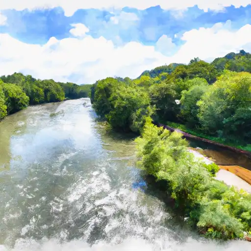
Total streamflow across the
Roanoke River
was last observed at
9,087
cfs, and is expected to yield approximately
18,024
acre-ft of water today; about 51%
of normal.
River levels are low and may signify a drought.
Average streamflow for this time of year is
17,830 cfs,
with recent peaks last observed
on
2018-10-12 when daily discharge volume was observed at
92,240 cfs.
Maximum discharge along the river is currently at the
Roanoke River At Roanoke Rapids
reporting a streamflow rate of 6,830 cfs.
This is also the highest stage along the Roanoke River, with a gauge stage of
5.07 ft at this location.
This river is monitored from 6 different streamgauging stations along the Roanoke River, the highest being situated at an altitude of 1,185 ft, the
Roanoke River At Lafayette.
Last Updated
2024-04-29
Streamflow
9,087.0 cfs
Percent of Normal
50.97%
Maximum
92,240.0 cfs
2018-10-12
About the roanoke river
The Roanoke River is a 410-mile-long river that flows through Virginia and North Carolina. It has a rich history, having been home to various Native American tribes and explored by European settlers in the 16th century. The river’s hydrology is affected by precipitation and dam releases, with major reservoirs including the John H. Kerr Reservoir and the Roanoke Rapids Lake. These dams have been constructed for hydroelectric power, flood control, and recreation purposes. The river is also important for agriculture, providing irrigation for crops such as tobacco and cotton. Recreational activities like fishing, boating, and kayaking are popular on the river. The Roanoke River is a vital resource for both human use and wildlife conservation, and efforts have been made to maintain its ecological integrity.