-740.0 cfs (-11.03%) since yesterday
128.14% of Normal
•
2 Streamgauges
Total streamflow across the
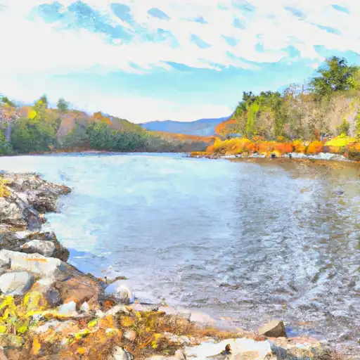
Sacandaga River
was last observed at
5,970
cfs, and is expected to yield approximately
11,841
acre-ft of water today; about 128%
of normal.
River levels are high.
Average streamflow for this time of year is
4,659 cfs,
with recent peaks last observed
on
2019-11-01 when daily discharge volume was observed at
37,700 cfs.
Maximum discharge along the river is currently at the
Sacandaga River At Stewarts Bridge Nr Hadley Ny
reporting a streamflow rate of 4,290 cfs.
This is also the highest stage along the Sacandaga River, with a gauge stage of
5.57 ft at this location.
This river is monitored from 2 different streamgauging stations along the Sacandaga River, the highest being situated at an altitude of 940 ft, the
Sacandaga River Near Hope Ny.
Last Updated
2024-05-07
Streamflow
5,970.0 cfs
Percent of Normal
128.14%
Maximum
37,700.0 cfs
2019-11-01
About the sacandaga river
The Sacandaga River is a 64-mile-long river located in Upstate New York. It is fed by numerous tributaries, including the West Branch and the East Branch. The river has a rich history, serving as an important transportation route for Native Americans and early settlers. It was also the site of significant flooding in the early 20th century, which led to the construction of several reservoirs and dams to control the water flow. The largest of these reservoirs is the Great Sacandaga Lake, which was created in 1930. The river is now used for recreational activities such as fishing, kayaking, and rafting. It also supports agriculture in the surrounding area, with farmers using its water for irrigation. Despite its historical significance and ecological importance, the Sacandaga River faces ongoing threats from pollution and habitat loss.