-13600.0 cfs (-10.8%) since yesterday
72.72% of normal
•
Low
Total streamflow across the
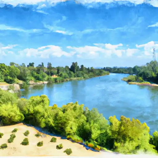
Sacramento River
was last observed at
112,310
cfs, and is expected to yield approximately
222,764
acre-ft of water today; about 73%
of normal.
Average streamflow for this time of year is
154,450 cfs,
with recent peaks last observed
on
2023-03-15 when daily discharge volume was observed at
520,700 cfs.
Maximum discharge along the river is currently at the
Sacramento R A Rio Vista Ca
reporting a streamflow rate of 25,000 cfs.
However, the streamgauge with the highest stage along the river is the
Sacramento R A Freeport Ca
with a gauge stage of 105.7 ft.
This river is monitored from 12 different streamgauging stations along the Sacramento River, the highest being situated at an altitude of 1,143 ft, the
Sacramento R A Delta Ca.
Last Updated
2024-05-01
Streamflow
112,310.0 cfs
Percent of Normal
72.72%
Maximum
520,700.0 cfs
2023-03-15
About the sacramento river
The Sacramento River is a 445-mile-long river that flows through Northern California, starting from the Klamath Mountains and ending at the Sacramento-San Joaquin Delta. It has played a significant role in California's history, serving as a major transportation route during the Gold Rush era. The river's hydrology is heavily influenced by snowmelt and rainfall, with several dams and reservoirs built for flood control and water storage purposes. These include the Shasta Dam, which forms the largest reservoir in California. The river also provides water for agricultural purposes in the Sacramento Valley, known for its rice fields and orchards. Recreational activities such as fishing, boating, and camping are popular along the river, with several parks and wildlife refuges located along its banks.