+243.36 cfs (+5.8%) since yesterday
27.46% of normal
•
Very Low
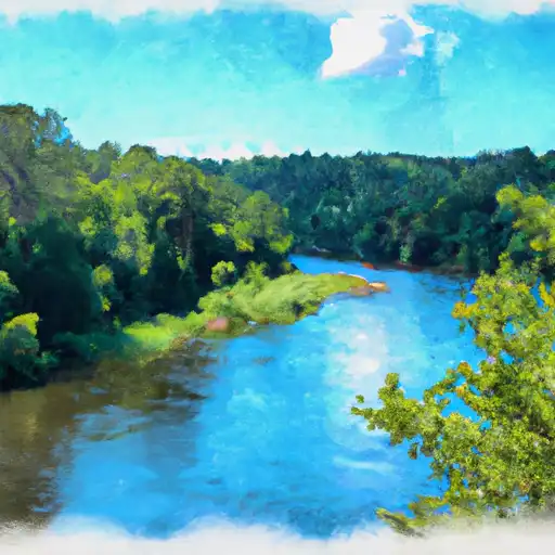
Total streamflow across the
Saline River
was last observed at
4,438
cfs, and is expected to yield approximately
8,803
acre-ft of water today; about 27%
of normal.
River levels are low and may signify a drought.
Average streamflow for this time of year is
16,166 cfs,
with recent peaks last observed
on
2018-03-02 when daily discharge volume was observed at
108,275 cfs.
Maximum discharge along the river is currently at the
Saline River Near Rye
reporting a streamflow rate of 1,780 cfs.
This is also the highest stage along the Saline River, with a gauge stage of
10.14 ft at this location.
This river is monitored from 9 different streamgauging stations along the Saline River, the highest being situated at an altitude of 2,225 ft, the
Saline R Nr Wakeeney.
Last Updated
2024-05-02
Streamflow
4,438.3 cfs
Percent of Normal
27.46%
Maximum
108,274.97 cfs
2018-03-02
About the saline river
The Saline River is a 346-mile-long river that flows through the states of Kansas and Arkansas in the United States. The river has played an important role in the history of the region, serving as a source of transportation and irrigation for agricultural purposes. The hydrology of the river is unique, with a series of reservoirs and dams used for flood control and hydroelectric power generation. Specific reservoirs and dams on the river include Wilson Dam, Kanopolis Dam, and Lake Dardanelle. These reservoirs provide recreational opportunities such as fishing, boating, and camping, as well as an important source of water for irrigation and drinking water. The Saline River watershed is home to diverse wildlife and plant species, making it an important ecological resource.