-2440.0 cfs (-7.0%) since yesterday
93.16% of Normal
•
9 Streamgauges
Total streamflow across the
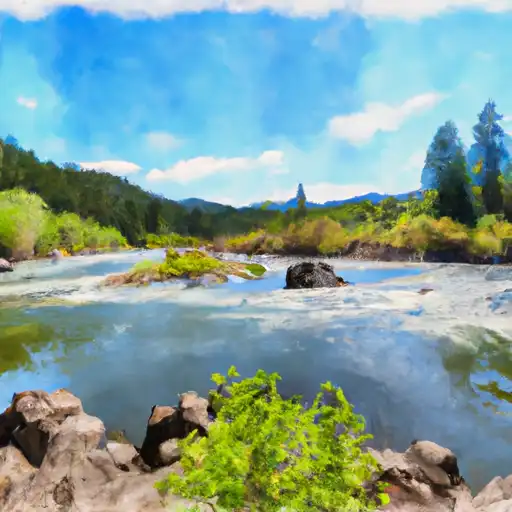
Salmon River
was last observed at
32,420
cfs, and is expected to yield approximately
64,304
acre-ft of water today; about 93%
of normal.
Average streamflow for this time of year is
34,799 cfs,
with recent peaks last observed
on
2017-06-02 when daily discharge volume was observed at
129,510 cfs.
Maximum discharge along the river is currently at the
Salmon River At White Bird Id
reporting a streamflow rate of 21,300 cfs.
This is also the highest stage along the Salmon River, with a gauge stage of
19.03 ft at this location.
This river is monitored from 9 different streamgauging stations along the Salmon River, the highest being situated at an altitude of 5,911 ft, the
Salmon River Bl Yankee Fork Nr Clayton Id.
Last Updated
2024-05-01
Streamflow
32,420.0 cfs
Percent of Normal
93.16%
Maximum
129,510.0 cfs
2017-06-02
About the salmon river
The Salmon River is a 425-mile-long river in western Idaho that is known for its world-class rapids and salmon fishing. The river's history dates back to the Native American tribes that used the river for fishing and transportation. The river's hydrology is influenced by its headwaters in the Sawtooth Mountains, which provide a consistent flow of cold, clear water. The river is home to several reservoirs and dams, including the Lower Salmon Falls Dam and the Little Salmon River Dam, which provide hydroelectric power and irrigation for agricultural purposes. The Salmon River is also popular for recreational activities, including rafting, fishing, and camping. The river's diverse landscape and rich history make it a unique destination for outdoor enthusiasts and history buffs alike.