-2740.0 cfs (-18.92%) since yesterday
95.24% of Normal
•
11 Streamgauges
Total streamflow across the
Salt River
was last observed at
11,740
cfs, and is expected to yield approximately
23,286
acre-ft of water today; about 95%
of normal.
Average streamflow for this time of year is
12,326 cfs,
with recent peaks last observed
on
2015-06-27 when daily discharge volume was observed at
65,336 cfs.
Maximum discharge along the river is currently at the
Salt River Near New London
reporting a streamflow rate of 6,580 cfs.
This is also the highest stage along the Salt River, with a gauge stage of
9.16 ft at this location.
This river is monitored from 11 different streamgauging stations along the Salt River, the highest being situated at an altitude of 5,694 ft, the
Salt River Ab Reservoir Nr Etna Wy.
Last Updated
2024-05-06
Streamflow
11,740.0 cfs
Percent of Normal
95.24%
Maximum
65,336.0 cfs
2015-06-27
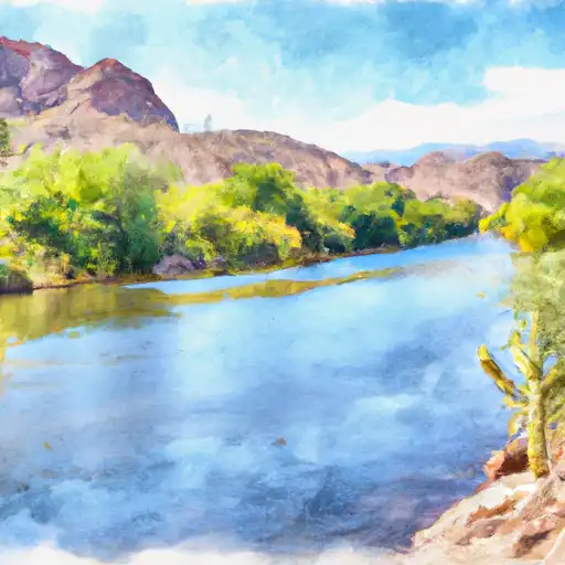
About the salt river
The Salt River is a tributary of the Gila River that runs through Arizona. It has a total length of 200 miles and originates in the White Mountains of eastern Arizona. The river flows through several reservoirs and dams such as Roosevelt, Apache, and Canyon Lakes. The construction of these dams has provided hydroelectric power and water resources for irrigation, flood control, and recreation purposes. The Salt River Project manages the water resources of the river and provides electricity to millions of people in central Arizona. The river has played an important role in the history and development of the Phoenix metropolitan area. Today, it is a popular destination for outdoor recreational activities such as fishing, boating, and hiking. Additionally, the river is used for agricultural purposes such as providing water for crops and grazing land.