-34.0 cfs (-19.21%) since yesterday
136.84% of Normal
•
9 Streamgauges
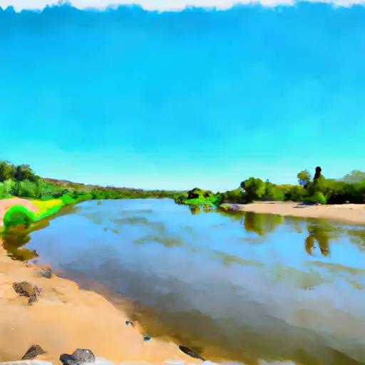
Total streamflow across the
Santa Cruz River
was last observed at
143
cfs, and is expected to yield approximately
284
acre-ft of water today; about 137%
of normal.
River levels are high.
Average streamflow for this time of year is
105 cfs,
with recent peaks last observed
on
2021-07-26 when daily discharge volume was observed at
20,367 cfs.
Maximum discharge along the river is currently at the
Santa Cruz River Near Cundiyo
reporting a streamflow rate of 143 cfs.
However, the streamgauge with the highest stage along the river is the
Santa Cruz River At Tubac
with a gauge stage of 19.84 ft.
This river is monitored from 9 different streamgauging stations along the Santa Cruz River, the highest being situated at an altitude of 6,489 ft, the
Santa Cruz River Near Cundiyo.
Last Updated
2024-04-27
Streamflow
143.0 cfs
Percent of Normal
136.84%
Maximum
20,366.8 cfs
2021-07-26
About the santa cruz river
The Santa Cruz River is a 184-mile-long river that flows through the southern part of Arizona and northern part of Mexico. The river has a rich history, with evidence of human activity along its banks dating back over 4,000 years. The hydrology of the river has been significantly impacted by human activity, including diversion of water for agricultural use and the construction of dams and reservoirs. The two main reservoirs on the river are Lake Patagonia and the Rio Rico Reservoir. The river is also an important source of water for irrigation, supporting agriculture in the region. In recent years, efforts have been made to restore the river and its ecosystem, including the removal of invasive plant species and the reintroduction of native fish species. The river also provides recreational opportunities, including fishing and boating.