Maximum discharge along the river is currently at the
reporting a streamflow rate of cfs.
This is also the highest stage along the Saxtons River, with a gauge stage of
ft at this location.
This river is monitored from 1 different streamgauging stations along the Saxtons River, the highest being situated at an altitude of ft, the
.
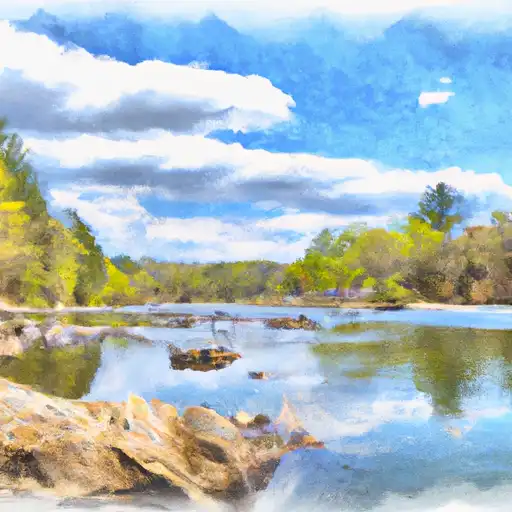
About the saxtons river
Saxtons River is a major tributary of the Connecticut River, flowing through Windham County, Vermont and into New Hampshire. It is approximately 22 miles long and has a drainage area of 104 square miles. The river has a rich history, with evidence of indigenous settlement dating back over 11,000 years. The first dam on the river was built in 1792 and since then, several other dams have been constructed for various purposes, including hydroelectric power generation and flood control. Notable reservoirs on the river include the Townshend Reservoir, Ball Mountain Lake, and Harriman Reservoir. The river is also used for recreational activities such as fishing, kayaking, and swimming, and supports agriculture in the surrounding areas.