Maximum discharge along the river is currently at the
reporting a streamflow rate of cfs.
This is also the highest stage along the Seboeis River, with a gauge stage of
ft at this location.
This river is monitored from 1 different streamgauging stations along the Seboeis River, the highest being situated at an altitude of ft, the
.
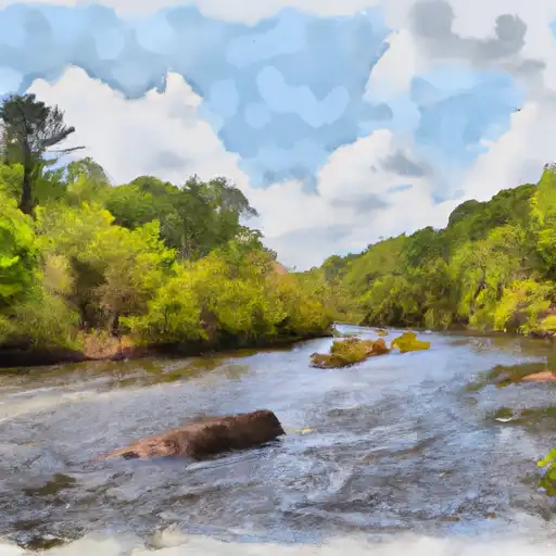
About the seboeis river
The Seboeis River is located in northern Maine and is approximately 50 miles in length. The river is known for its rich history, as it was once used to transport logs during the logging boom of the late 1800s. Today, the river is mainly used for recreational purposes such as fishing and canoeing. The Seboeis River is fed by several reservoirs, including Seboeis Lake and Jo-Mary Lake. These reservoirs are managed by the Penobscot River Restoration Trust, which aims to restore the natural flow of the river and improve fish habitat. There are also several dams along the river, including the Seboeis Dam, which is used to control water levels and generate hydroelectric power. Agricultural uses of the river are limited, but some farmers in the surrounding areas use its water for irrigation.