-15.0 cfs (-6.02%) since yesterday
118.72% of Normal
•
2 Streamgauges
Total streamflow across the
Shasta River
was last observed at
234
cfs, and is expected to yield approximately
464
acre-ft of water today; about 119%
of normal.
Average streamflow for this time of year is
197 cfs,
with recent peaks last observed
on
2024-01-14 when daily discharge volume was observed at
1,033 cfs.
Maximum discharge along the river is currently at the
Shasta R Nr Montague Ca
reporting a streamflow rate of 123 cfs.
However, the streamgauge with the highest stage along the river is the
Shasta R Nr Yreka Ca
with a gauge stage of 3.32 ft.
This river is monitored from 2 different streamgauging stations along the Shasta River, the highest being situated at an altitude of 2,462 ft, the
Shasta R Nr Montague Ca.
Last Updated
2024-04-30
Streamflow
234.0 cfs
Percent of Normal
118.72%
Maximum
1,033.0 cfs
2024-01-14
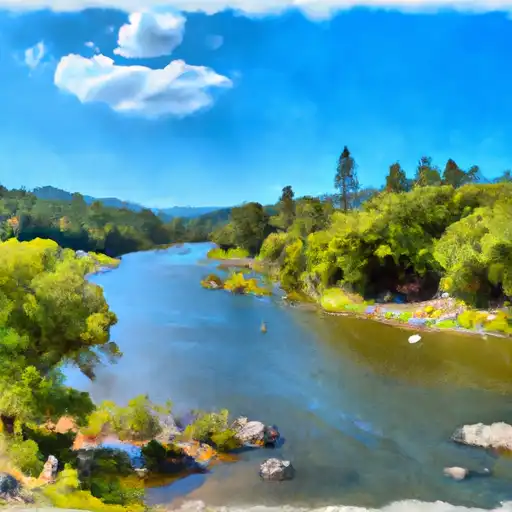
About the shasta river
The Shasta River is a 58-mile-long tributary of the Klamath River located in Northern California. The river has a long history, as it was used by indigenous people for fishing, hunting, and gathering. In the 1850s, gold mining brought settlers to the area, and agriculture developed in the late 1800s. The river has two main reservoirs, the Dwinnell and the Shasta Reservoirs, which are used for irrigation, flood control, and hydroelectric power generation. The Shasta River also provides habitat for various fish species, including Chinook salmon and steelhead trout. Recreational activities such as fishing, kayaking, and camping are popular along the river, and agriculture remains an important part of the local economy. However, the river has faced challenges such as declining fish populations and water scarcity due to drought and increased demand for irrigation.