-860.0 cfs (-13.5%) since yesterday
76.37% of Normal
•
2 Streamgauges
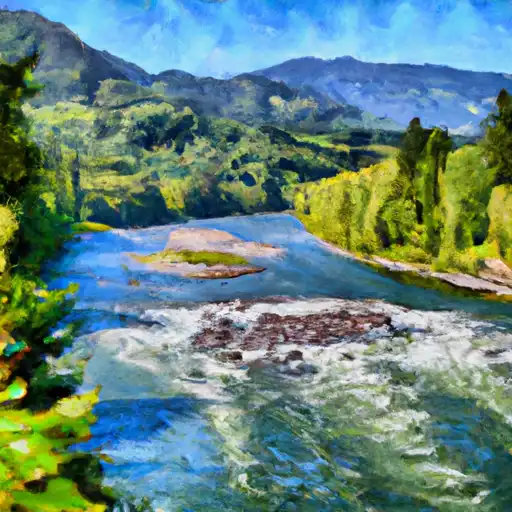
Total streamflow across the
Snoqualmie River
was last observed at
5,510
cfs, and is expected to yield approximately
10,929
acre-ft of water today; about 76%
of normal.
Average streamflow for this time of year is
7,215 cfs,
with recent peaks last observed
on
2015-01-06 when daily discharge volume was observed at
85,200 cfs.
Maximum discharge along the river is currently at the
Snoqualmie River Near Carnation
reporting a streamflow rate of 3,200 cfs.
This is also the highest stage along the Snoqualmie River, with a gauge stage of
46.33 ft at this location.
This river is monitored from 2 different streamgauging stations along the Snoqualmie River, the highest being situated at an altitude of 114 ft, the
Snoqualmie River Near Snoqualmie.
Last Updated
2024-05-03
Streamflow
5,510.0 cfs
Percent of Normal
76.37%
Maximum
85,200.0 cfs
2015-01-06
About the snoqualmie river
The Snoqualmie River is a river in western Washington state, flowing 45 miles from the Cascade Mountains to the Snohomish River. It has been an important source of food, transportation, and cultural significance for the Snoqualmie Tribe for thousands of years. Today, the Snoqualmie River is used for hydroelectric power generation, with multiple dams and reservoirs along its course, including Snoqualmie Falls and the Snoqualmie Pass Hydroelectric Project. These reservoirs not only provide power, but also serve as recreation areas for fishing, boating, and hiking. The river is also important for agricultural purposes, with farms and orchards along its banks producing crops such as corn, hay, and apples. Despite its importance, the Snoqualmie River faces challenges such as pollution, habitat degradation, and impacts from climate change.