Maximum discharge along the river is currently at the
reporting a streamflow rate of cfs.
This is also the highest stage along the Stonycreek River, with a gauge stage of
ft at this location.
This river is monitored from 1 different streamgauging stations along the Stonycreek River, the highest being situated at an altitude of ft, the
.
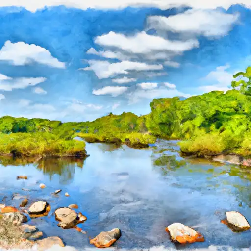
About the stonycreek river
The Stonycreek River is a 47-mile long tributary of the Conemaugh River in western Pennsylvania. The river has a rich history, as it played a significant role in the American Revolutionary War and American Civil War. Today, the river is primarily used for recreational purposes, including kayaking, fishing, and hiking. It is also used for agricultural irrigation. The river is fed by several tributaries and is impounded by several dams, including the Quemahoning Reservoir, which provides drinking water to the city of Johnstown. The dam at the Quemahoning Reservoir also generates hydroelectric power. Another significant dam on the Stonycreek River is the Stonycreek Canyon Dam, which is used for flood control. Despite its many uses, the Stonycreek River is also subject to water pollution from agricultural runoff and other sources.