+4.0 cfs (+0.75%) since yesterday
47.73% of normal
•
Very Low
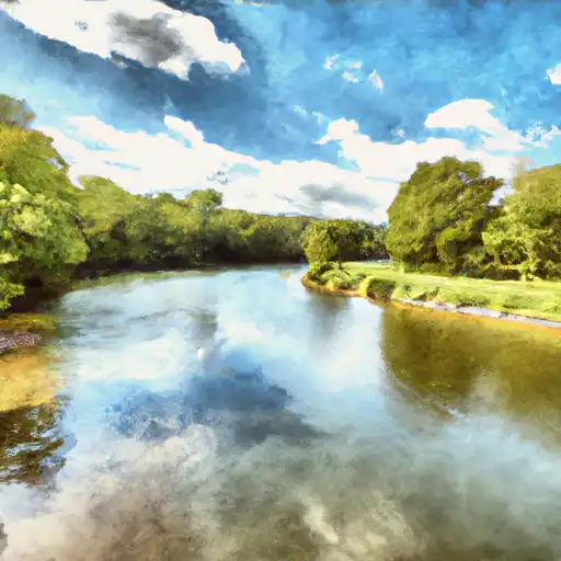
Total streamflow across the
Sugar River
was last observed at
534
cfs, and is expected to yield approximately
1,059
acre-ft of water today; about 48%
of normal.
River levels are low and may signify a drought.
Average streamflow for this time of year is
1,119 cfs,
with recent peaks last observed
on
2023-07-11 when daily discharge volume was observed at
9,262 cfs.
Maximum discharge along the river is currently at the
Sugar River Near Brodhead
reporting a streamflow rate of 534 cfs.
However, the streamgauge with the highest stage along the river is the
Sugar River At West Claremont
with a gauge stage of 2.16 ft.
This river is monitored from 2 different streamgauging stations along the Sugar River, the highest being situated at an altitude of 780 ft, the
Sugar River Near Brodhead.
Last Updated
2024-04-27
Streamflow
534.0 cfs
Percent of Normal
47.73%
Maximum
9,262.0 cfs
2023-07-11
About the sugar river
The Sugar River is a 66-mile long river that flows through central New Hampshire. It has a rich history dating back to the 18th century when it was used as a major transportation route for logging and farming. Today, the river is primarily used for recreational activities such as fishing, boating, and swimming. Its hydrology is influenced by three major reservoirs: Blaisdell Lake, Highland Lake, and Webster Lake. These reservoirs are managed by the Army Corps of Engineers and provide hydroelectric power and water supply for surrounding communities. The river also supports agricultural uses, with farms located along its banks producing crops such as corn, hay, and vegetables. The Sugar River plays an important role in both the natural and cultural history of New Hampshire, and continues to be a valuable resource for the state.