+16.0 cfs (+8.08%) since yesterday
80.0% of Normal
•
2 Streamgauges
Total streamflow across the
Tallulah River
was last observed at
214
cfs, and is expected to yield approximately
424
acre-ft of water today; about 80%
of normal.
Average streamflow for this time of year is
268 cfs,
with recent peaks last observed
on
2018-05-31 when daily discharge volume was observed at
11,320 cfs.
Maximum discharge along the river is currently at the
Tallulah River Near Clayton
reporting a streamflow rate of 185 cfs.
However, the streamgauge with the highest stage along the river is the
Tallulah River Ab Powerhouse
with a gauge stage of 5.2 ft.
This river is monitored from 2 different streamgauging stations along the Tallulah River, the highest being situated at an altitude of 1,877 ft, the
Tallulah River Near Clayton.
Last Updated
2024-05-07
Streamflow
214.0 cfs
Percent of Normal
80.0%
Maximum
11,320.0 cfs
2018-05-31
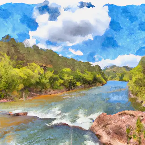
About the tallulah river
Tallulah River is a 60-mile long river situated in the northeastern part of Georgia, USA. It was named after the Cherokee word for "terrible" or "thundering" due to the river's fast-flowing rapids and waterfalls. The Tallulah River originates in the Blue Ridge Mountains and empties into Lake Tugalo. The river's hydrology is characterized by steep drops, making it a popular spot for whitewater rafting and kayaking. The Tallulah Gorge, a 1,000-foot deep canyon, is a popular tourist destination that offers breathtaking views of the river. The river also features two hydroelectric dams, Tallulah Falls Dam and Burton Dam, which provide electricity to the region. The river is also used for recreational activities such as fishing and swimming, and for agricultural purposes such as irrigation.