-6.0 cfs (-1.23%) since yesterday
48.37% of normal
•
Very Low
Total streamflow across the
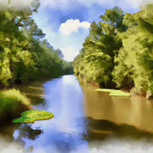
Tangipahoa River
was last observed at
482
cfs, and is expected to yield approximately
956
acre-ft of water today; about 48%
of normal.
River levels are low and may signify a drought.
Average streamflow for this time of year is
997 cfs,
with recent peaks last observed
on
2016-08-14 when daily discharge volume was observed at
82,730 cfs.
Maximum discharge along the river is currently at the
Tangipahoa River At Robert
reporting a streamflow rate of 306 cfs.
However, the streamgauge with the highest stage along the river is the
Tangipahoa River At Osyka
with a gauge stage of 8.28 ft.
This river is monitored from 2 different streamgauging stations along the Tangipahoa River, the highest being situated at an altitude of 232 ft, the
Tangipahoa River At Osyka.
Last Updated
2024-04-29
Streamflow
482.0 cfs
Percent of Normal
48.37%
Maximum
82,730.0 cfs
2016-08-14
About the tangipahoa river
The Tangipahoa River is located in southeast Louisiana and flows for 125 miles before emptying into Lake Pontchartrain. Named after the Tangipahoa Native American tribe, it has played an important role in the region's history, serving as a transportation route for goods and people.
The river is fed by numerous tributaries and has several reservoirs and dams, including the Percy Quin State Park Lake and the Tangipahoa Reservoir. These reservoirs are used for flood control, recreation, and as a source of drinking water for nearby communities.
The Tangipahoa River is an important source of irrigation for agricultural land along its banks, supporting rice farming, soybeans, and cattle grazing. The river is also a popular destination for recreational activities such as fishing, kayaking, and swimming.
Despite its importance to the region, the Tangipahoa River has faced environmental challenges in recent years, including pollution and sedimentation. However, efforts are underway to restore the health of the river and preserve its ecological and economic value for future generations.