Maximum discharge along the river is currently at the
reporting a streamflow rate of cfs.
This is also the highest stage along the Tradewater River, with a gauge stage of
ft at this location.
This river is monitored from 1 different streamgauging stations along the Tradewater River, the highest being situated at an altitude of ft, the
.
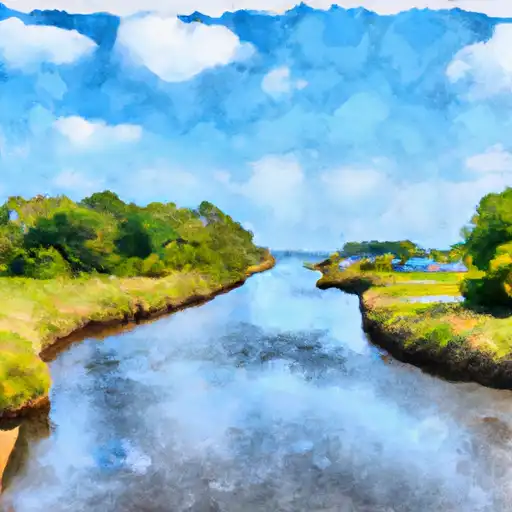
About the tradewater river
The Tradewater River is a 149-mile-long river that runs through Kentucky and Tennessee. It was named by early European explorers who noticed the dark color of the water caused by the surrounding peat bogs. The river holds historical significance as it was a major transportation route for Native Americans and early settlers. The hydrology of the river is altered by several reservoirs and dams, including the Lake Beshear Dam and Lake Malone Dam, which provide flood control, hydroelectric power, and recreational opportunities. The river is also used for agricultural purposes, with many farms and ranches located along its banks. Recreational activities such as fishing and boating are popular, with many campsites and parks available for visitors to enjoy the beauty of the river.