-453.0 cfs (-3.49%) since yesterday
73.1% of normal
•
Low
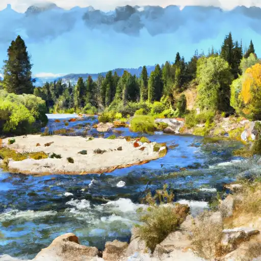
Total streamflow across the
Truckee River
was last observed at
12,524
cfs, and is expected to yield approximately
24,841
acre-ft of water today; about 73%
of normal.
Average streamflow for this time of year is
17,132 cfs,
with recent peaks last observed
on
2017-05-06 when daily discharge volume was observed at
62,940 cfs.
Maximum discharge along the river is currently at the
Truckee River Nr Tracy
reporting a streamflow rate of 1,320 cfs.
This is also the highest stage along the Truckee River, with a gauge stage of
8.52 ft at this location.
This river is monitored from 13 different streamgauging stations along the Truckee River, the highest being situated at an altitude of 6,235 ft, the
Truckee R A Tahoe City Ca.
Last Updated
2024-05-01
Streamflow
12,524.0 cfs
Percent of Normal
73.1%
Maximum
62,940.0 cfs
2017-05-06
About the truckee river
The Truckee River is a 121-mile-long river located in California and Nevada. It begins at Lake Tahoe and flows through the Sierra Nevada Mountains, eventually ending in Pyramid Lake. The river has a rich history, with Native American tribes, such as the Paiute and Washoe, utilizing the area for fishing and hunting. Today, the Truckee River serves as a crucial source of water for agricultural irrigation and drinking water for the surrounding communities. There are several reservoirs and dams along the river, including the Boca Reservoir and the Stampede Reservoir, which regulate water flow and provide hydroelectric power. In addition to its practical uses, the Truckee River is also a popular destination for recreational activities, such as fishing, kayaking, and camping.