-16.9 cfs (-3.16%) since yesterday
66.61% of normal
•
Low
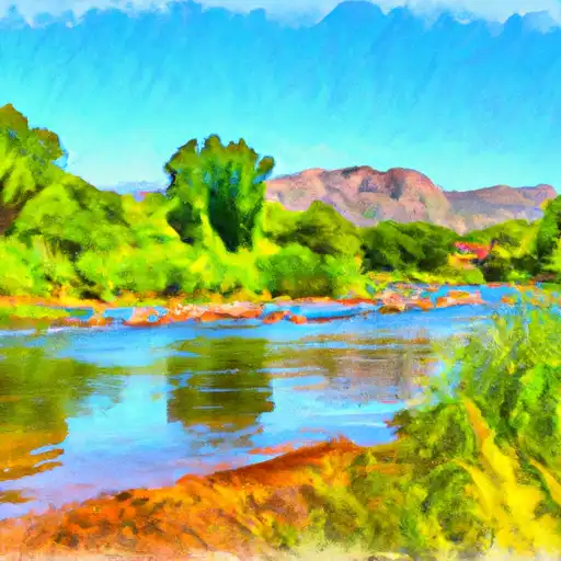
Total streamflow across the
Verde River
was last observed at
518
cfs, and is expected to yield approximately
1,026
acre-ft of water today; about 67%
of normal.
River levels are low and may signify a drought.
Average streamflow for this time of year is
777 cfs,
with recent peaks last observed
on
2023-03-23 when daily discharge volume was observed at
197,750 cfs.
Maximum discharge along the river is currently at the
Verde R Blw Tangle Creek
reporting a streamflow rate of 159 cfs.
This is also the highest stage along the Verde River, with a gauge stage of
6.95 ft at this location.
This river is monitored from 6 different streamgauging stations along the Verde River, the highest being situated at an altitude of 4,116 ft, the
Verde River Near Paulden.
Last Updated
2024-05-07
Streamflow
517.5 cfs
Percent of Normal
66.61%
Maximum
197,750.0 cfs
2023-03-23
About the verde river
The Verde River is a tributary of the Salt River in the US state of Arizona. It is 170 miles long and flows through the Verde Valley, forming a significant part of its hydrology. The river has a rich history, with evidence of human habitation dating back more than 10,000 years. Today, the river is a vital source of water for irrigation, supporting agriculture in the surrounding areas. There are several reservoirs and dams along the river, such as the Bartlett Dam, which provides hydroelectric power and water storage. The river is also a popular recreational spot, with activities such as fishing, kayaking, and camping attracting tourists to the area. The Verde River is a significant natural resource for the state of Arizona, providing water and recreation for its residents and visitors.