-1028.0 cfs (-79.88%) since yesterday
63.75% of normal
•
Low
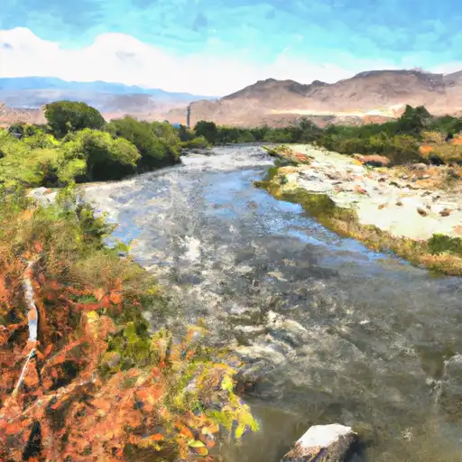
Total streamflow across the
Walker River
was last observed at
259
cfs, and is expected to yield approximately
514
acre-ft of water today; about 64%
of normal.
River levels are low and may signify a drought.
Average streamflow for this time of year is
406 cfs,
with recent peaks last observed
on
2023-06-12 when daily discharge volume was observed at
12,300 cfs.
Maximum discharge along the river is currently at the
Walker R Nr Wabuska
reporting a streamflow rate of 259 cfs.
However, the streamgauge with the highest stage along the river is the
Walker River Ab Weber Res Nr Schurz
with a gauge stage of 9.62 ft.
This river is monitored from 4 different streamgauging stations along the Walker River, the highest being situated at an altitude of 4,294 ft, the
Walker R Nr Wabuska.
Last Updated
2024-05-04
Streamflow
259.0 cfs
Percent of Normal
63.75%
Maximum
12,300.0 cfs
2023-06-12
About the walker river
The Walker River is a river in western Nevada and eastern California, stretching approximately 55 miles in length. It has played an important role in the history of the region, serving as a critical water source for indigenous peoples, early settlers, and mining operations. Today, the river is used for agricultural and recreational purposes, with several reservoirs and dams along its course, including the Weber Reservoir and Mason Valley Wildlife Management Area. The Walker River is also a popular spot for fishing, with rainbow and brown trout being among the most commonly caught species. However, due to its limited flow and increasing demand for water, the Walker River faces ongoing challenges in maintaining sustainable use and management practices.