Maximum discharge along the river is currently at the
West River At Jamaica
reporting a streamflow rate of 261 cfs.
This is also the highest stage along the West River, with a gauge stage of
5.08 ft at this location.
This river is monitored from 3 different streamgauging stations along the West River, the highest being situated at an altitude of 669 ft, the
West River At Jamaica.
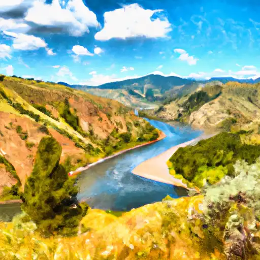
About the west river
The West River is a river in southern Vermont that flows through the towns of Jamaica, Townshend, Newfane, and Brookline. The river is about 47 miles long and has a rich history dating back to the 18th century. It is a tributary of the Connecticut River and is known for its hydroelectric power potential. The Ball Mountain Dam, Townshend Dam, and Jamaica Dam are some of the significant structures located on the river. These dams provide water storage for hydroelectric power generation and flood control. The West River is also used for recreational activities such as fishing, swimming, and kayaking. The river's water is essential for agriculture and supports several farms and orchards located along its banks.