Maximum discharge along the river is currently at the
reporting a streamflow rate of cfs.
This is also the highest stage along the Whiterocks River, with a gauge stage of
ft at this location.
This river is monitored from 1 different streamgauging stations along the Whiterocks River, the highest being situated at an altitude of ft, the
.
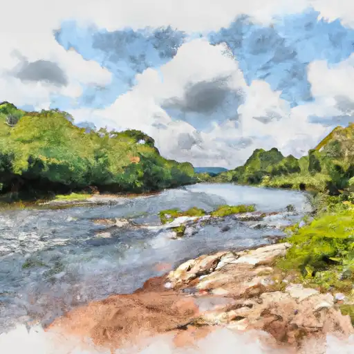
About the whiterocks river
The Whiterocks River is a tributary of the Green River in northeastern Utah. It begins in the Uinta Mountains and flows for approximately 30 miles before joining the Green River. The river is known for its scenic beauty, including waterfalls and canyons. Hydrologically, the river is fed by snowmelt and rainfall and is subject to seasonal fluctuations. The Whiterocks Dam was built in the 1960s to create the Whiterocks Reservoir, which provides water for irrigation and recreation. The reservoir is a popular spot for fishing and boating. Agriculture is a major industry in the surrounding area, and the river is used for irrigation to support crops like alfalfa and hay. The Whiterocks River has also played a significant role in the history of the Uinta Basin, serving as a vital water source for Native American communities and early settlers.