+218.9 cfs (+15.91%) since yesterday
65.82% of normal
•
Low
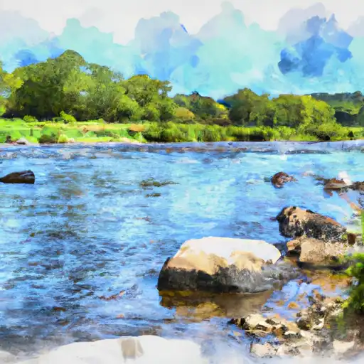
Total streamflow across the
Wild Rice River
was last observed at
1,595
cfs, and is expected to yield approximately
3,164
acre-ft of water today; about 66%
of normal.
River levels are low and may signify a drought.
Average streamflow for this time of year is
2,423 cfs,
with recent peaks last observed
on
2013-04-29 when daily discharge volume was observed at
11,743 cfs.
Maximum discharge along the river is currently at the
Wild Rice River At Twin Valley
reporting a streamflow rate of 530 cfs.
However, the streamgauge with the highest stage along the river is the
Wild Rice River Nr Abercrombie
with a gauge stage of 12.89 ft.
This river is monitored from 4 different streamgauging stations along the Wild Rice River, the highest being situated at an altitude of 1,203 ft, the
Wild Rice River Nr Rutland.
Last Updated
2024-05-03
Streamflow
1,595.0 cfs
Percent of Normal
65.82%
Maximum
11,743.0 cfs
2013-04-29
About the wild rice river
The Wild Rice River is a 122.5-mile-long tributary of the Red River of the North in Minnesota and North Dakota. The river was historically important to Native American tribes who hunted and fished in the area. Several dams and reservoirs have been constructed along the river, including the Buffalo River Dam, Lake Shure Dam, and the Sand Hill River Dam. These serve multiple purposes, including flood control, recreation, and irrigation. The Wild Rice River is also important for agricultural purposes, as it supports crops such as corn, soybeans, and wheat. Additionally, the river is popular for recreational activities such as fishing, kayaking, and birdwatching, with several campgrounds and parks located along its banks.