-930.0 cfs (-11.25%) since yesterday
36.38% of normal
•
Very Low
Total streamflow across the
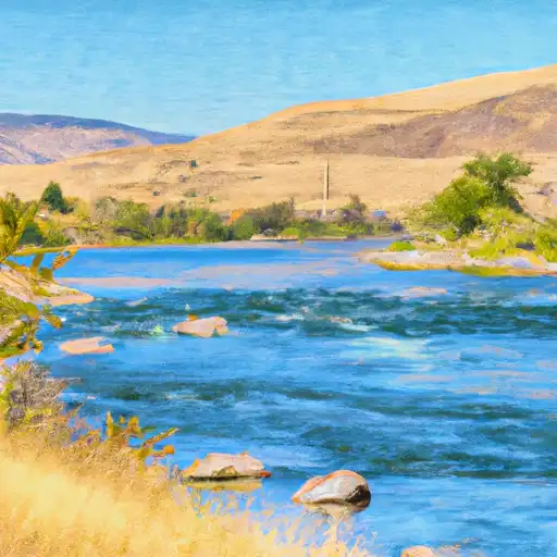
Yakima River
was last observed at
7,340
cfs, and is expected to yield approximately
14,559
acre-ft of water today; about 36%
of normal.
River levels are low and may signify a drought.
Average streamflow for this time of year is
20,175 cfs,
with recent peaks last observed
on
2011-05-18 when daily discharge volume was observed at
78,140 cfs.
Maximum discharge along the river is currently at the
Yakima River Above Ahtanum Creek At Union Gap
reporting a streamflow rate of 2,570 cfs.
This is also the highest stage along the Yakima River, with a gauge stage of
40.97 ft at this location.
This river is monitored from 4 different streamgauging stations along the Yakima River, the highest being situated at an altitude of 1,338 ft, the
Yakima River At Umtanum.
Last Updated
2024-05-03
Streamflow
7,340.0 cfs
Percent of Normal
36.38%
Maximum
78,140.0 cfs
2011-05-18
About the yakima river
The Yakima River is a tributary of the Columbia River that flows through Washington State. It stretches for 214 miles and has a rich history, having been home to various Native American tribes for centuries. It is also a popular destination for fly-fishing enthusiasts, as it is home to a variety of fish species, including trout, salmon, and steelhead.
The river's hydrology has been impacted by human activity, including the construction of dams and reservoirs. The Yakima River Basin Storage Alliance has worked to create reservoirs and dams that provide irrigation water to farms and ranches in the region, while also helping to protect the river's ecosystem.
Some of the most notable reservoirs on the Yakima River include the Cle Elum Lake Reservoir and the Bumping Lake Reservoir. The Yakima River also supports a variety of recreational activities, including camping, hiking, and rafting.