+847.0 cfs (+6.49%) since yesterday
71.86% of normal
•
Low
Total streamflow across the
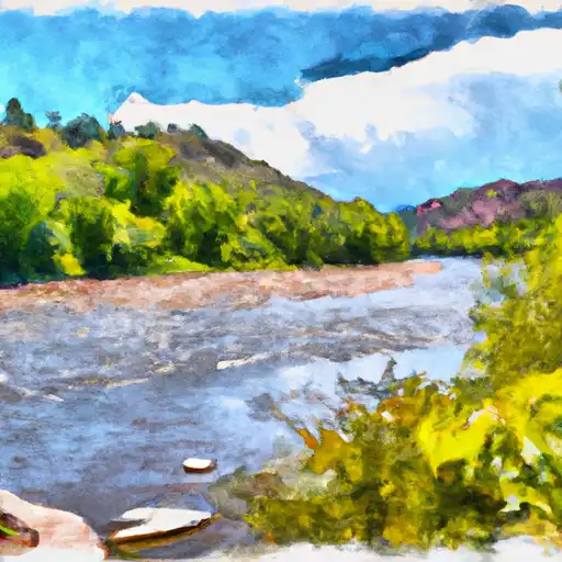
Yampa River
was last observed at
13,891
cfs, and is expected to yield approximately
27,552
acre-ft of water today; about 72%
of normal.
Average streamflow for this time of year is
19,330 cfs,
with recent peaks last observed
on
2011-06-09 when daily discharge volume was observed at
79,245 cfs.
Maximum discharge along the river is currently at the
Yampa River At Deerlodge Park
reporting a streamflow rate of 3,980 cfs.
This is also the highest stage along the Yampa River, with a gauge stage of
5.72 ft at this location.
This river is monitored from 7 different streamgauging stations along the Yampa River, the highest being situated at an altitude of 7,211 ft, the
Yampa River Above Stagecoach Reservoir.
Last Updated
2024-05-06
Streamflow
13,891.0 cfs
Percent of Normal
71.86%
Maximum
79,245.0 cfs
2011-06-09
About the yampa river
The Yampa River is a tributary of the Green River and is located in the western part of the United States. It is approximately 250 miles long and flows through parts of Colorado and Wyoming before joining the Green River in Utah. The river has a rich history, having been used by Native American tribes and early settlers for transportation and agriculture. Today, the river is primarily used for recreation, including fishing, boating, and rafting. There are several reservoirs and dams along the river, including Stagecoach Reservoir and Elkhead Reservoir. These structures are used to manage water flow and provide hydroelectric power. The Yampa River also plays an important role in agriculture, providing irrigation water for crops in the surrounding areas.