-1093.0 cfs (-1.59%) since yesterday
96.57% of Normal
•
9 Streamgauges
Total streamflow across the
Yellowstone River
was last observed at
67,614
cfs, and is expected to yield approximately
134,111
acre-ft of water today; about 97%
of normal.
Average streamflow for this time of year is
70,012 cfs,
with recent peaks last observed
on
2011-05-25 when daily discharge volume was observed at
448,060 cfs.
Maximum discharge along the river is currently at the
Yellowstone River At Glendive Mt
reporting a streamflow rate of 14,900 cfs.
This is also the highest stage along the Yellowstone River, with a gauge stage of
44.89 ft at this location.
This river is monitored from 9 different streamgauging stations along the Yellowstone River, the highest being situated at an altitude of 7,731 ft, the
Yellowstone River At Yellowstone Lk Outlet Ynp.
Last Updated
2024-05-02
Streamflow
67,614.0 cfs
Percent of Normal
96.57%
Maximum
448,060.0 cfs
2011-05-25
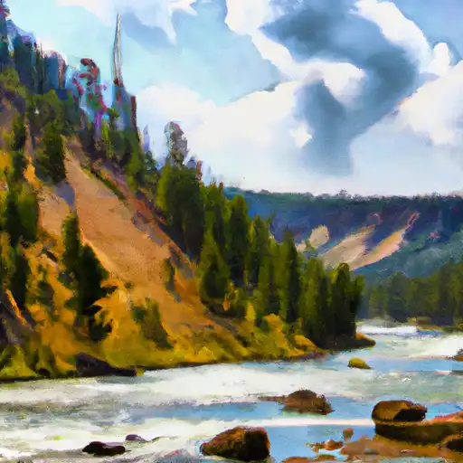
About the yellowstone river
The Yellowstone River is a major tributary of the Missouri River, spanning 692 miles from its source in Wyoming to its mouth in North Dakota. The river played a significant role in the history of the American West, including the Lewis and Clark expedition. It also served as a major transportation route for fur traders and settlers. The river is fed by snowmelt and precipitation, with the highest flows occurring in the spring and early summer. The river has several reservoirs, including the Buffalo Bill, Yellowtail, and Fort Peck dams. These provide hydroelectric power, irrigation, and flood control. Recreational activities, such as fishing, boating, and camping, are popular along the river. The river also supports agricultural activities, including cattle grazing and crop irrigation.