Montana SNOW REPORT
April 29 2024
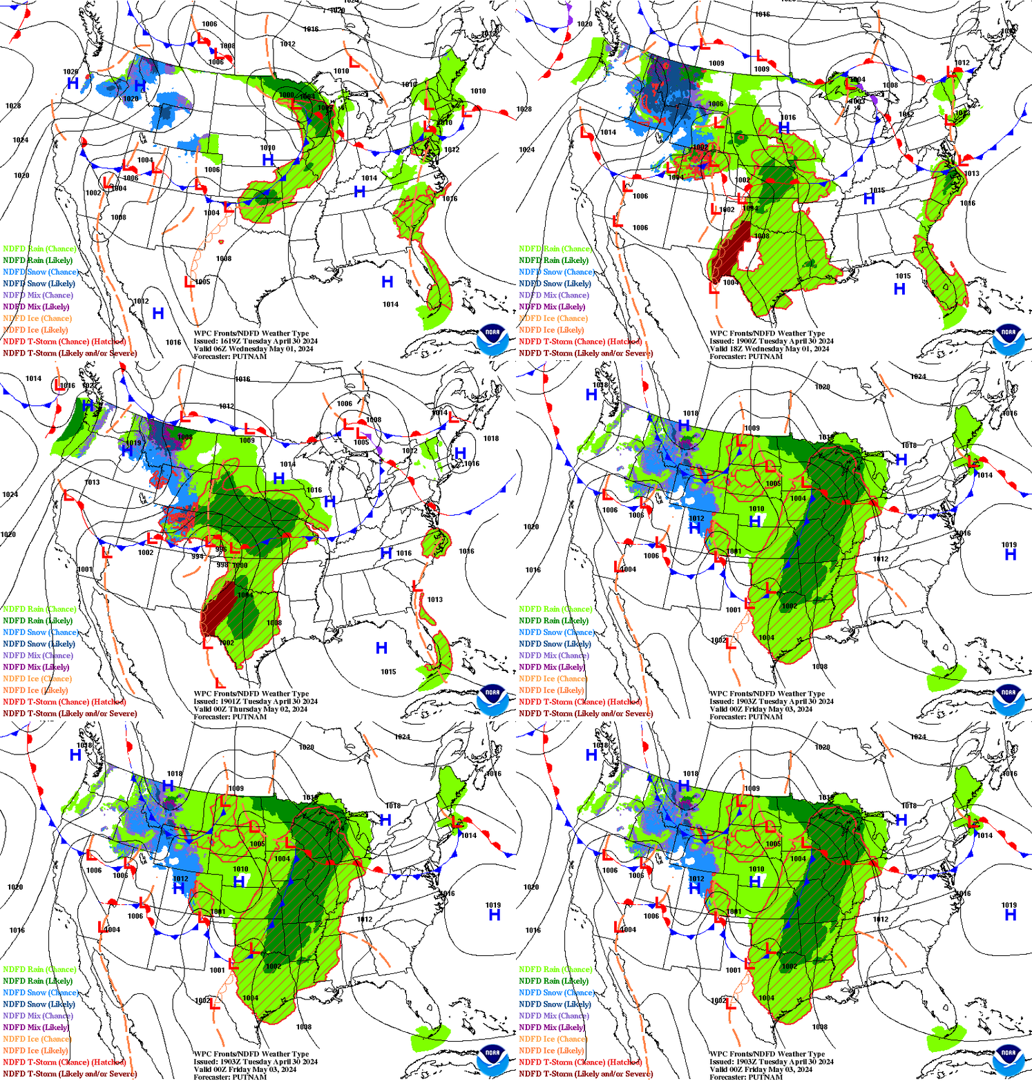
New snowfall across
Montana
today, with
Nohrsc Albro Lake
receiving up to
11” of
new snowfall, raising snowpack levels up to
40”.
Snowpack levels across the state are currently 69% of normal.
The deepest snowpack in Montana
was last observed at
Noisy Basin
with a
snowpack depth of
86”,
about 82%
of normal when compared to it's
105"
average depth for this time of year.
Stuart Mountain,
perched at an elevation of
7,400 ft.,
is currently experiencing some of the coldest temps in
Montana
with air temps last recorded at
36 degrees.
More snowfall is expected this week, and areas like
Flattop Mtn.
are forecasted to receive up to
25"
of snowfall in the next 5 days.

Montana's snowpack conditions vary across its diverse mountain ranges. The Rocky Mountains in the western part of the state receive the most snowfall, contributing to vital water sources and watersheds. The Crown of the Continent, encompassing the Glacier National Park, receives heavy snowfall and feeds into the Missouri River, while the Bitterroot Range is crucial for the Clark Fork and Bitterroot Rivers. The Bridger Range, Big Belt Mountains, and the Little Belt Mountains also contribute to the watersheds. Montana experiences a continental climate, with cold winters and abundant snowfall. Interesting snow science and history in Montana include the discovery of Ice Age snowshoes near Yellowstone National Park and advancements in snow water equivalent measurement techniques. It is important to verify snowpack conditions with up-to-date data from sources like the Natural Resources Conservation Service and Montana Snowpack Summary.


 Snoflo Premium